
Elvas is a fortified town in Portugal’s Alentejo, about 15 km west of Badajoz across the Spanish border. Its star-shaped ramparts, forts and aqueduct are a UNESCO World Heritage Site. Inside the walls, the old town is compact enough to walk end to end in an afternoon.
Porta da Esquina
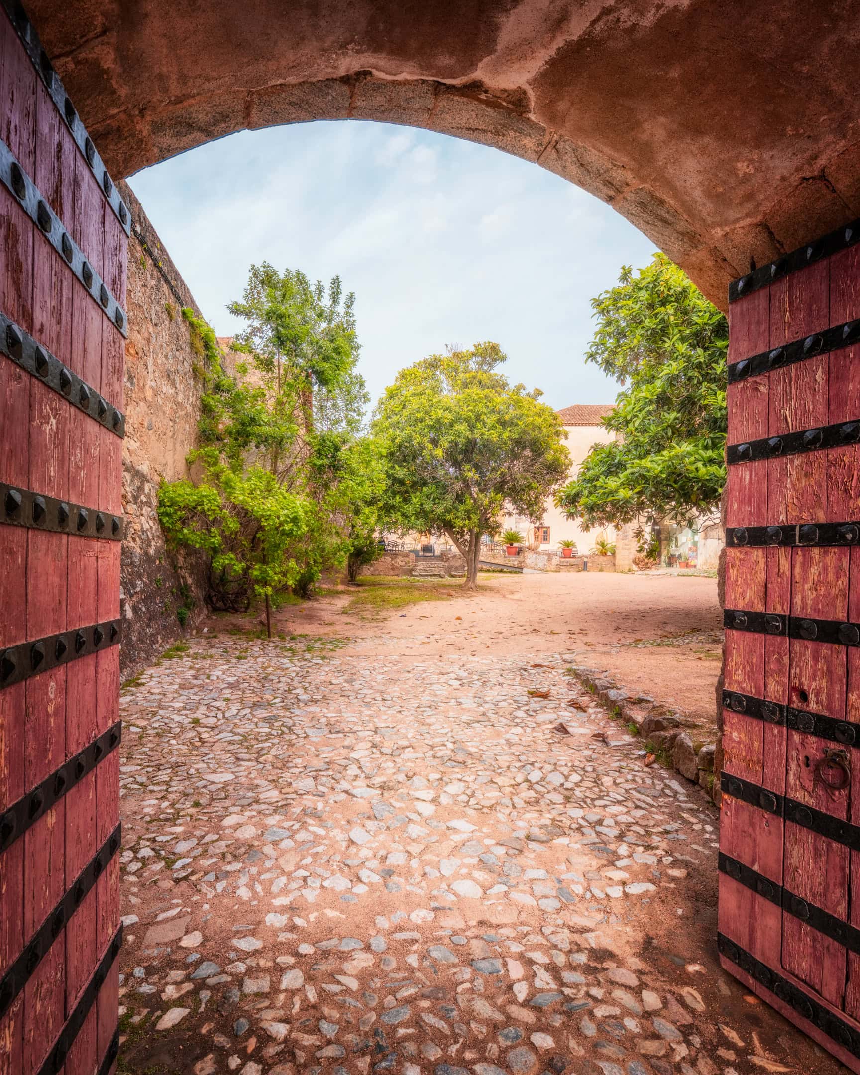
Most drivers enter Elvas through Porta da Esquina, the “corner gate”. It is one lane wide, yet it carries traffic in both directions.
The first time I drove up to it, I saw nothing beyond the arch. I had no idea how long the tunnel was, or whether a car was coming the other way. So I reversed, stopped and waited. Then a Portuguese driver arrived from the other side and sounded the horn before driving through. That is how it is done here.
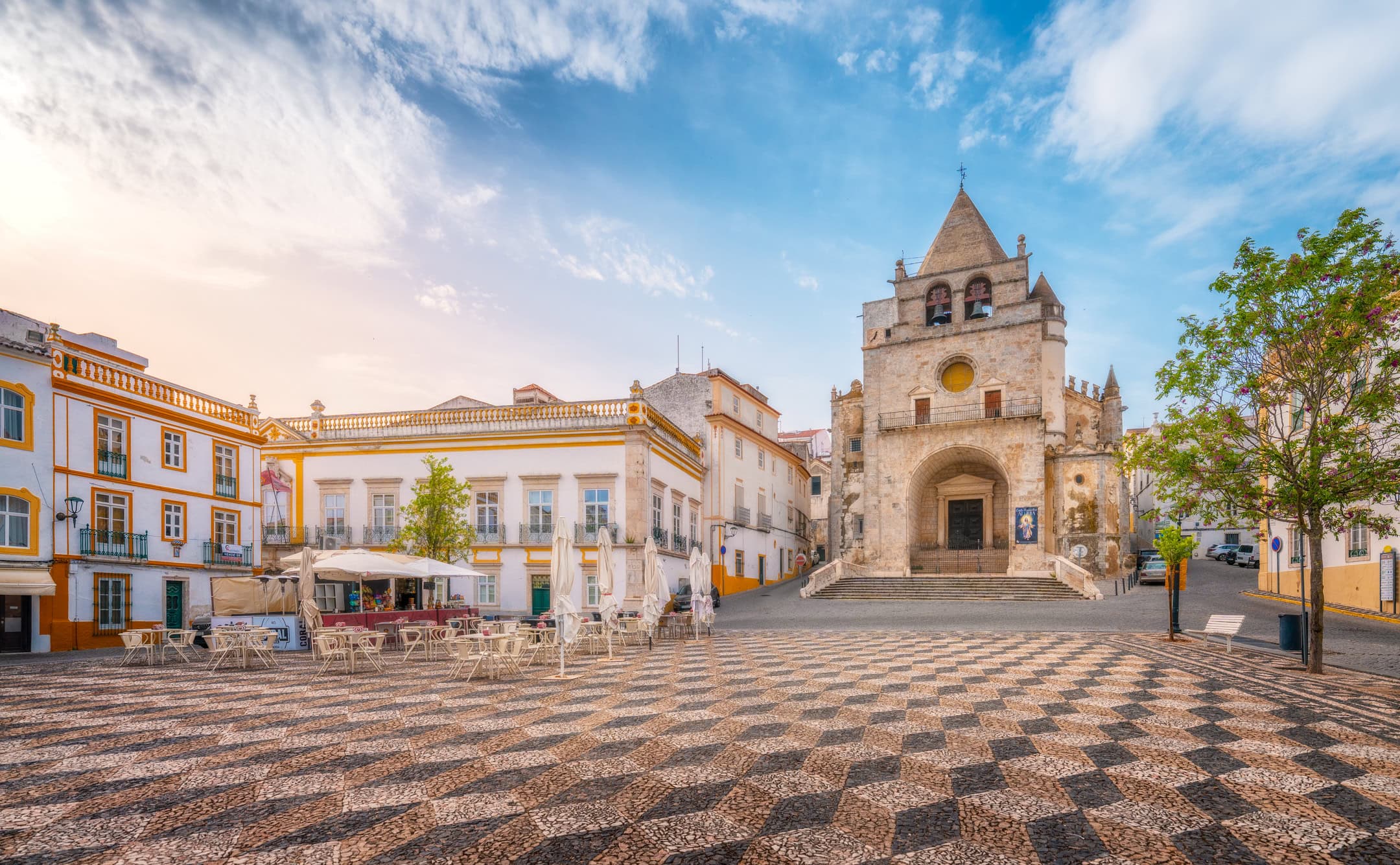
The design is deliberate. First, after an outer gate, a raised road leads to an inner gate. Inside, the passage turns sharply at 90 degrees, so attackers could never fire straight through it.
I came back for the gate at sunset. From the causeway, the sun drops behind the ochre bastions. Meanwhile, the low walls lead the eye straight to the tunnel.
Praça da República
Every street in the old town seems to end at Praça da República, the main square. My first visit fell on market day. Booths of local artisans covered the paving, so I bought honey instead of taking pictures.
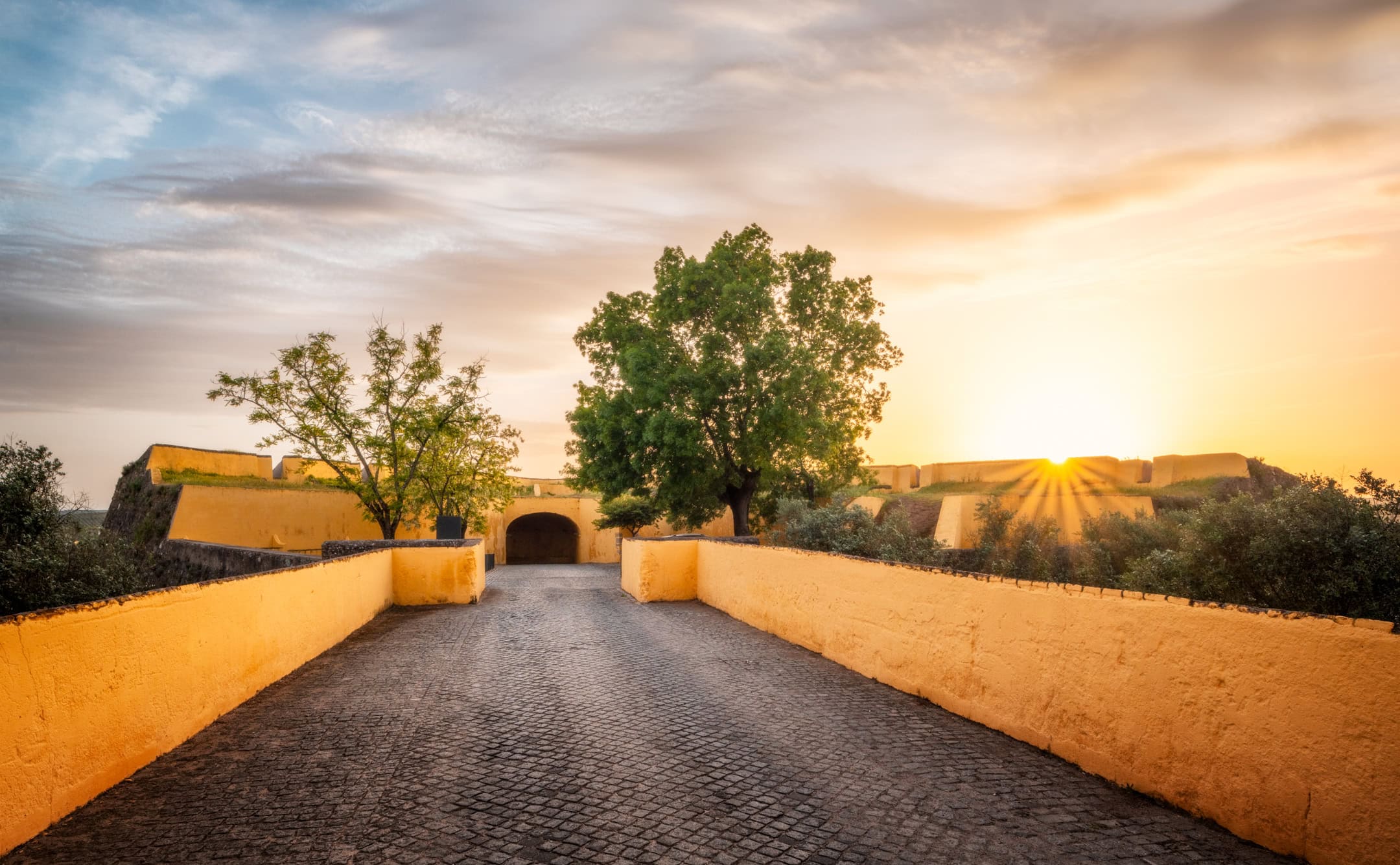
On my second visit, the square was empty and the sun was low. I gave each side its own frame. One faces the former cathedral. The other faces the Casa da Cultura, the old town hall, now a venue for exhibitions.
However, the real subject is the ground. The square is laid in calçada portuguesa, the Portuguese mosaic of hand-cut limestone and basalt. Most towns use black and white. Elvas adds a third, reddish tone, which turns the pattern into stacked cubes. At sunset, raking light makes it almost three-dimensional.
For the same reason, I kept the camera low. That way, the pattern runs from the lens to the facades.

Elvas Cathedral
The church on the square is still called the cathedral, although it lost that title in 1881. That year, the diocese of Elvas was dissolved. Officially, it is the Igreja de Nossa Senhora da Assunção.
Its current form, however, dates from the early 16th century. The design is by Francisco de Arruda, the royal architect who also built the Belém Tower in Lisbon. His name returns across Elvas, from this church to the aqueduct outside the walls.
The facade looks more like a keep than a church. It has a heavy square tower, a pyramid spire and thick stone walls. After all, the town spent centuries on the front line.
In my frame of the cathedral at the top of the square, the checkerboard leads up to the steps. Meanwhile, café chairs and folded umbrellas sit to the left, waiting for the evening crowd.
Pelourinho
A short walk from the square brings you to Largo de Santa Clara and the town’s pillory. A pelourinho marked a town with its own municipal jurisdiction. Offenders could be shown there, but its symbolic role mattered more than the punishment.
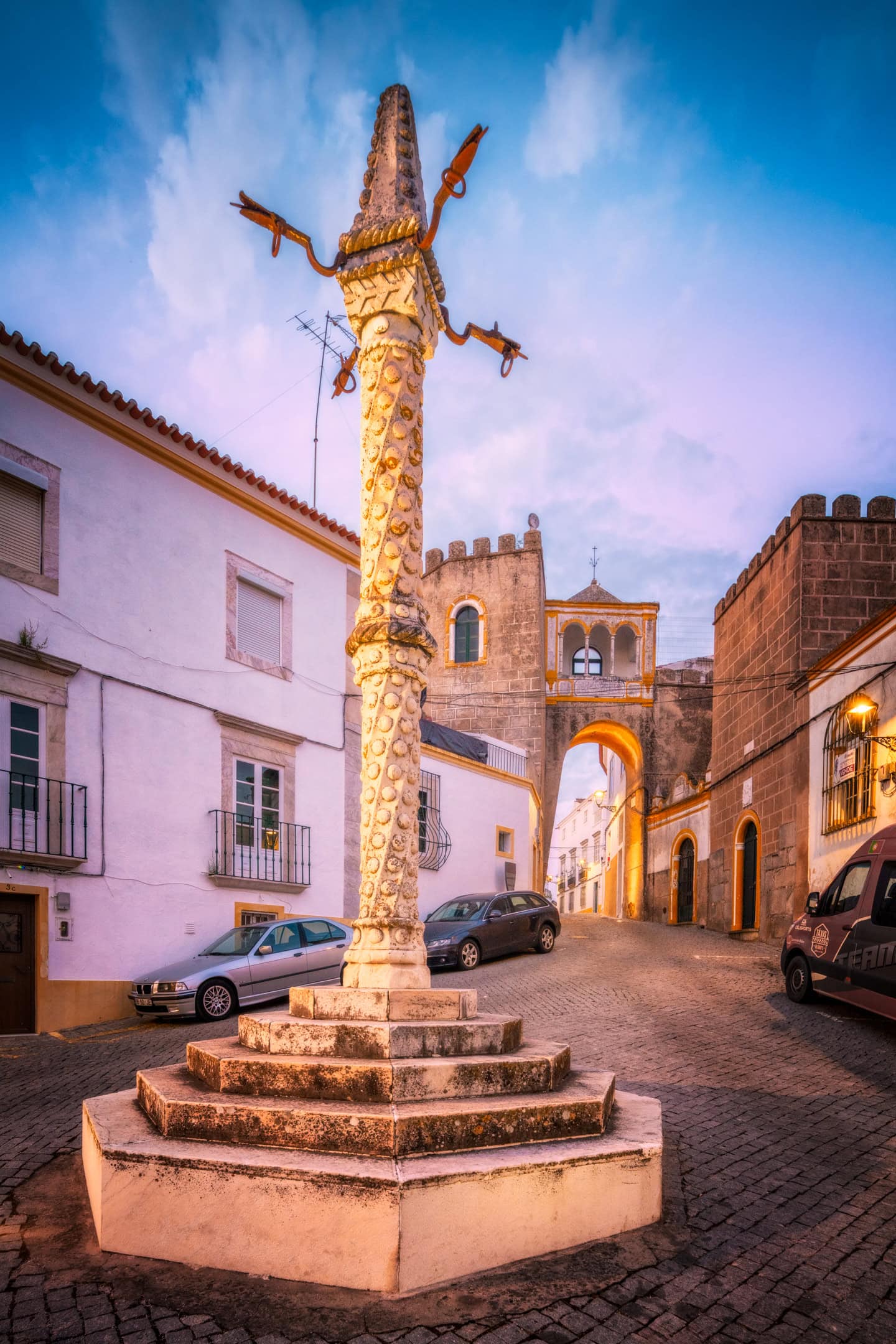
This one is Manueline, Portugal’s own late Gothic style. Its shaft twists like a rope, studded with carved knobs. At the top, four iron arms are shaped like dragons. Originally it stood on Praça da República. Later, it was rebuilt here from the original pieces.
I photographed the pillory under a blue-hour sky, with the street lamps just switched on. Instead of the Igreja das Domínicas, I chose the Arco de Santa Clara as the background. Its arcaded loggia glows above the street, and it frames the column better than the church would.
Elvas Castle
The castle sits on the highest point of the walled town. It has Moorish origins, and it was never a palace. Compared with Óbidos or Sintra, it looks rougher, and that suits its history. In 1906, it was classified as a National Monument.
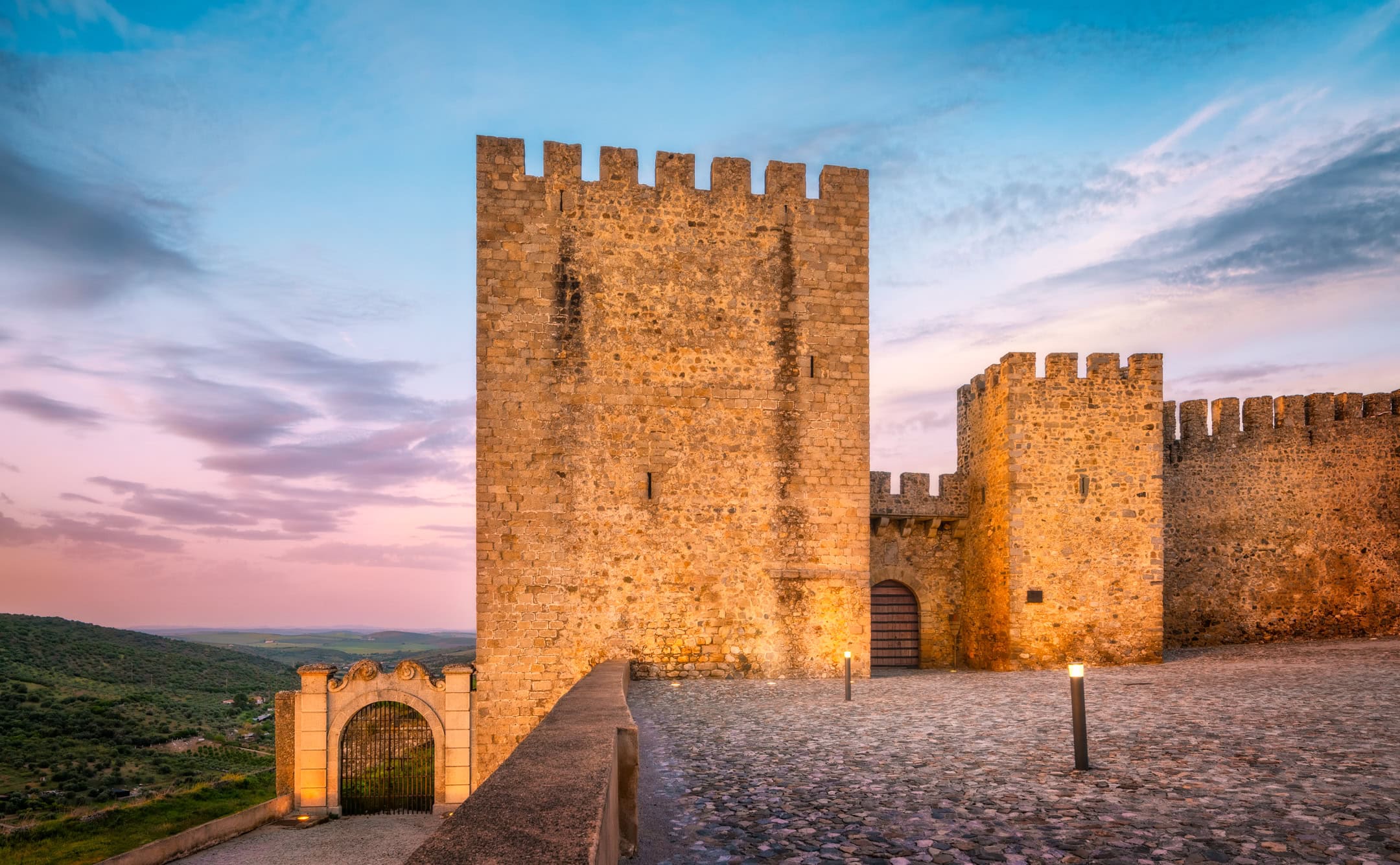
From the walls, you look over olive groves towards Spain. Indeed, that view was the point. For centuries, the garrison watched the old enemy from here.
My photo of the keep and battlements at dusk was taken after the sun had gone. Floodlights warm the stone, while the sky turns pink and blue over the hills.
Come during the day as well, when the gates are open. Inside, a shaded courtyard has a small café. On a hot afternoon, it is the right place for a Portuguese coffee and an egg-yolk sweet. Afterwards, it is an easy walk downhill to Praça da República.
Amoreira Aqueduct
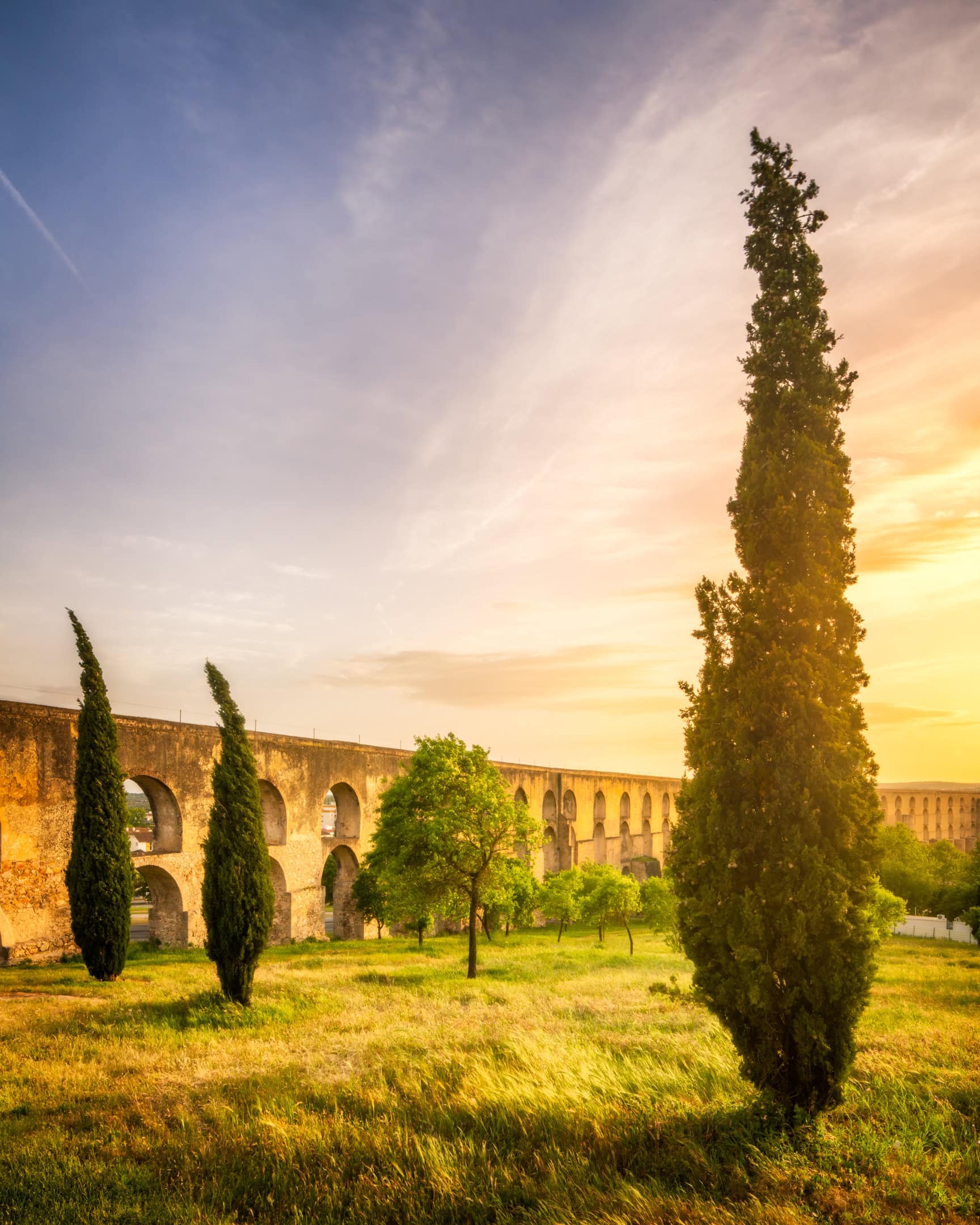
Outside the walls, the Amoreira Aqueduct carries water to the town over about 7 km. Work began in the 16th century under Francisco de Arruda and ended in the early 17th. Several architects followed him. As a result, the stone, the proportions and the technique change along its length.
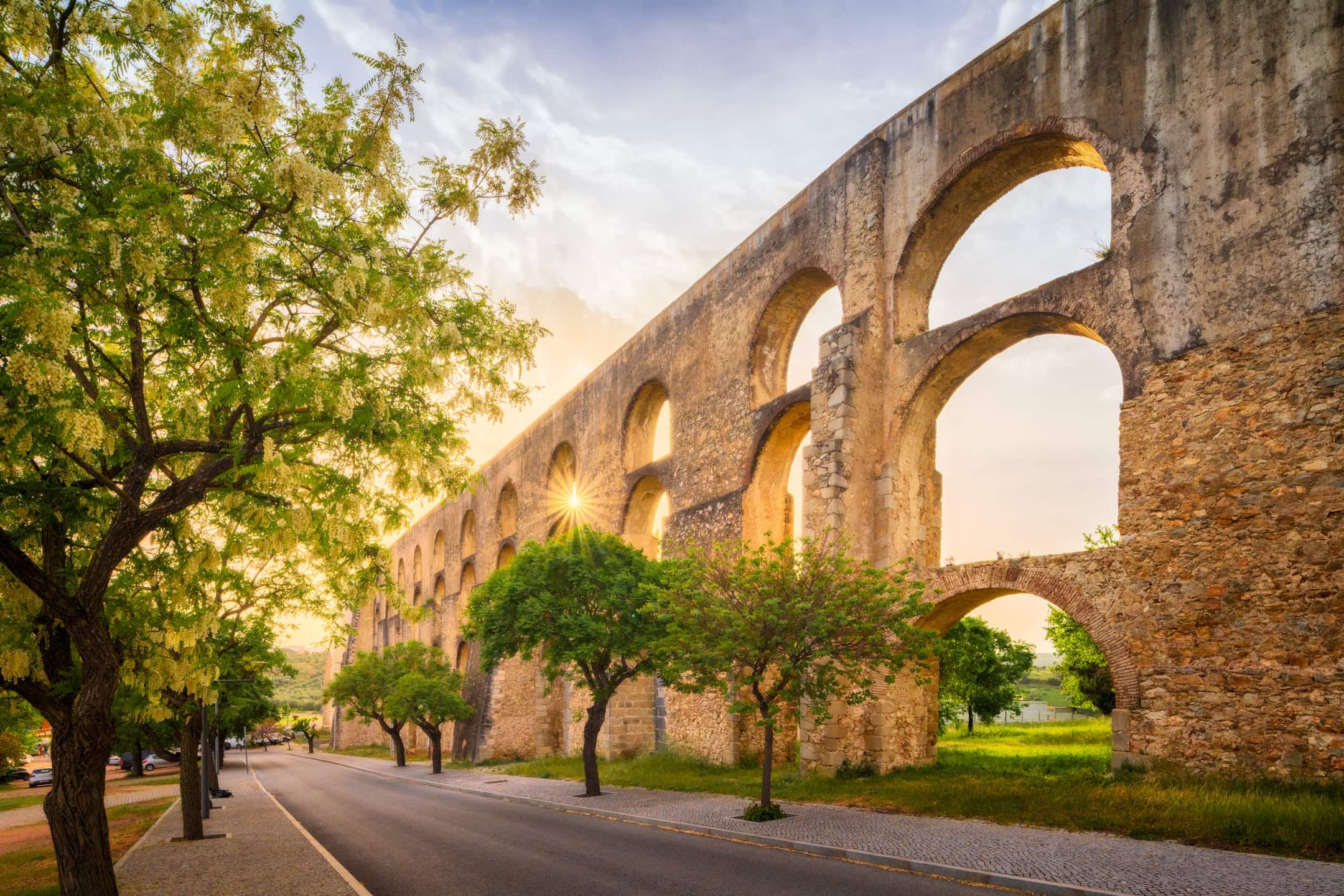
Above all, the aqueduct was a defence asset. With its own water, Elvas could hold out through a long siege.
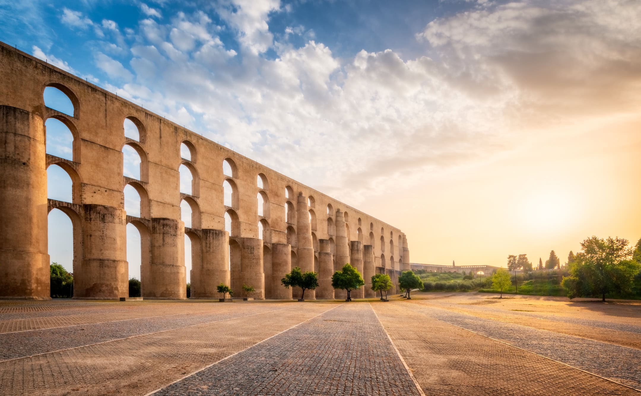
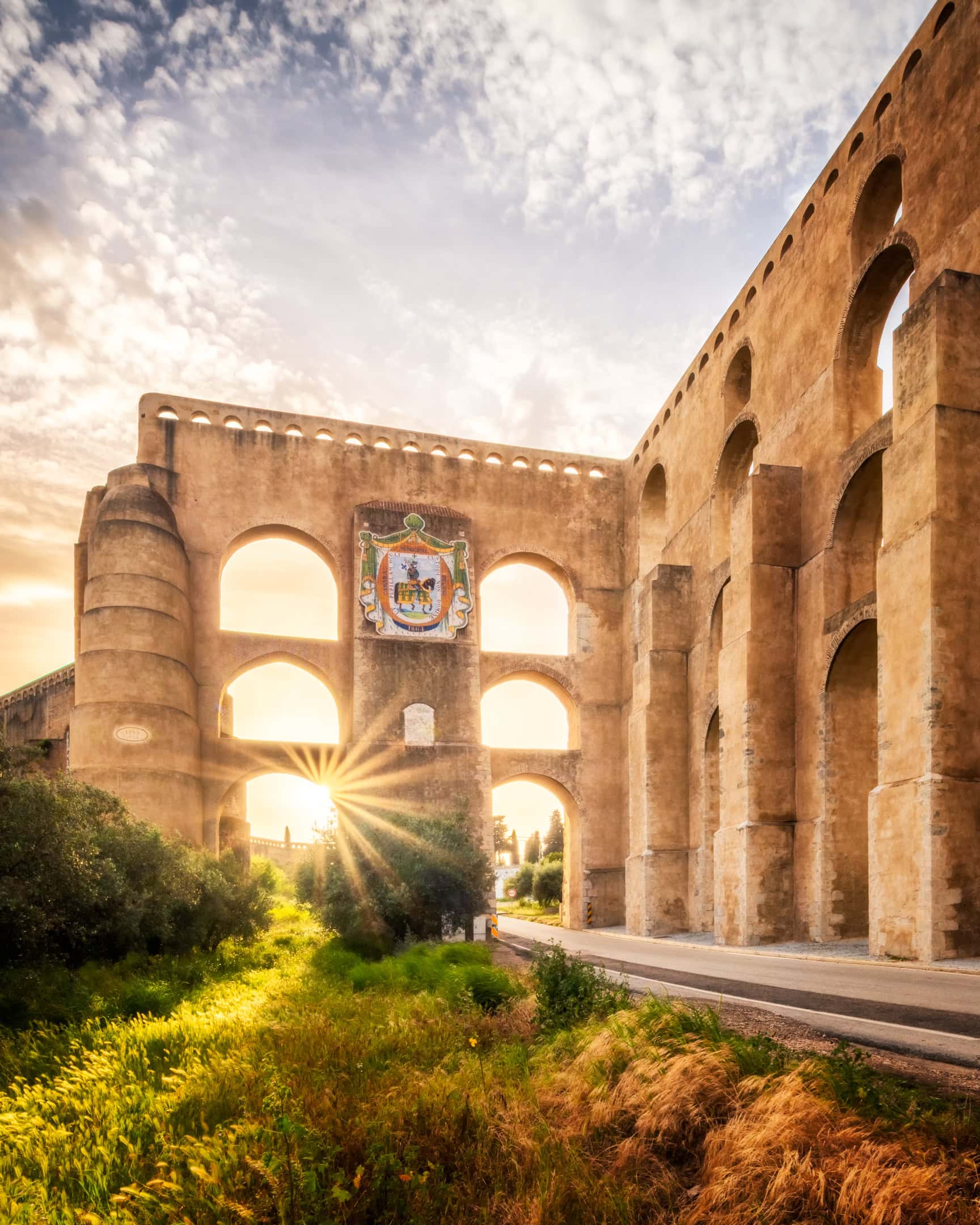
I spent a whole late afternoon here, because one frame could not hold it. The main one is the arches receding across the plaza, with the sun low on the right. Over one street, the arches carry the town’s coat of arms. According to the local story, it was cut for a fountain. However, it came out the wrong size and ended up here instead.
Then I noticed the cypress trees below the arches. Alentejo is often compared to Tuscany, and that scene finally explained why to me. For more of the region, see the castle at Mourão. Closer to Évora, the Convento do Espinheiro keeps an aqueduct of its own.
History of Elvas
Elvas earned its nickname, the “Queen of the Border”. After 1640, Portugal fought Spain for its independence, and Elvas faced Badajoz across the plain. In 1659, the Battle of the Lines of Elvas broke a Spanish siege of the town.
Because of that pressure, military engineers redrew the town as a star fort. Angled bastions project outwards, so defenders could cover every approach. Ravelins, moats and gates surround them. Later, two detached forts were added on the hills, Santa Luzia and Nossa Senhora da Graça.
Inside the walls, barracks and other military buildings supplied a permanent garrison. In this respect, Elvas belongs with Palmanova in Italy and Naarden in the Netherlands.
Finally, UNESCO inscribed the town in 2012. Its listing describes Elvas as an outstanding example of a garrison town and its dry-ditched bulwarked defence system.
When to Visit Elvas
Spring and autumn are the best seasons. Alentejo summers are very hot, and by midday the stone squares hold the heat. In July and August, therefore, see the walls and the aqueduct early. Otherwise, wait for the last two hours of light.
Sunset matters in Elvas more than in most towns. The plaster is painted ochre and white, so low light turns the whole town gold. After sunset, blue hour suits the old town, since the lamps and floodlit monuments come on early.
Before you go, check whether a market fills Praça da República. If it does, you will get honey and local produce, but not the pavement.
Nearby, Campo Maior is a short drive north-east. Whenever the town decides to hold it, its residents cover the streets in paper flowers for the Festas do Povo. Elvas also sits on the motorway between Lisbon and Madrid. So it works as a stop on a longer route through Portugal. For example, the capital and its waterfront lie two hours west.
Frequently Asked Questions
Is Elvas worth visiting?
Yes. Elvas is one of the best preserved fortified towns in Europe, and its fortifications are a UNESCO World Heritage Site. Within a small area, you find star-fort ramparts, a castle, a former cathedral, a Manueline pillory and a 16th-century aqueduct. Moreover, it sees far fewer visitors than towns of similar heritage.
How many days do you need in Elvas?
One full day covers the old town, the castle and the Amoreira Aqueduct. Stay one night if you want both sunset and blue hour, which is when the town looks its best. Then add a second day for the detached forts, Santa Luzia and Nossa Senhora da Graça. Alternatively, drive on to Campo Maior.
How do you get to Elvas from Lisbon?
The easiest way is by car on the A6 motorway towards Madrid, a little over two hours. Buses also run from Lisbon to Elvas. Note that most drivers enter the old town through Porta da Esquina, a narrow, single-lane gate. Therefore, it is easier to park outside the walls and walk in.
Why is Elvas a UNESCO World Heritage Site?
UNESCO inscribed the Garrison Border Town of Elvas and its Fortifications in 2012. The listing covers the bastioned walls and the historic centre. It also includes the Amoreira Aqueduct and the forts of Santa Luzia and Nossa Senhora da Graça. Together, they show how a border town was built to hold a permanent garrison.
How far is Elvas from Spain?
Elvas lies about 15 km west of Badajoz, the Spanish city across the border. In fact, from the castle walls you can see into Spain. That proximity explains the whole town: for centuries, Elvas guarded the main route between Lisbon and Madrid against Spanish attack.
What food is Elvas known for?
Elvas is known for its plums. Ameixas d’Elvas are greengages candied in syrup, and they carry a protected designation of origin. Locally, they are often served with sericaia, an Alentejo egg custard. Otherwise, expect Alentejo cooking: pork, bread soups, olive oil and regional wine.


